
Grapevine Postal Reference Points
Texas government ZIP material supports three postal references for Grapevine: 76051, 76099, and 76092. The research supports a different use and caution for each one. It does not support a complete city-limit ZIP polygon table. That distinction keeps a postal reference page from turning a mailing convention into a claim about municipal jurisdiction, parcel location, or a person at an address.
| ZIP | Areas Covered | Post Office | Notes |
|---|---|---|---|
| 76051 | Standard Grapevine postal reference in Texas ZIP material | Grapevine postal reference | Verify any delivery address with USPS, TAD, and the city-boundary map. |
| 76099 | Grapevine postal and mailing reference | Grapevine postal reference | City Hall uses it as a mailing ZIP. It does not establish a property situs. |
| 76092 | Southlake-associated postal geography appearing in Grapevine-area records | Southlake-associated postal geography | Any Grapevine overlap requires address-level USPS and Tarrant map confirmation. |
Regional map research also surfaced 76034, 75022, 75067, and 75261. Their exact city-limit overlap was not confirmed in an official postal table, so they are not presented as Grapevine ZIP codes. Keep an address as entered and its later normalized form together when researching a family, property, or old civic record.
Note: A postal reference identifies delivery geography, while a parcel, city map, or deed supplies a different kind of location evidence.
Grapevine Postal Delivery Checks
Use the USPS ZIP Code Lookup with a deliverable address before relying on a postal label. Its address and city/state modes are useful starting points, but a city-name result alone can cross a municipal boundary. The postal result should be recorded beside the original address, especially when a record uses a nearby city name or a mailing ZIP.
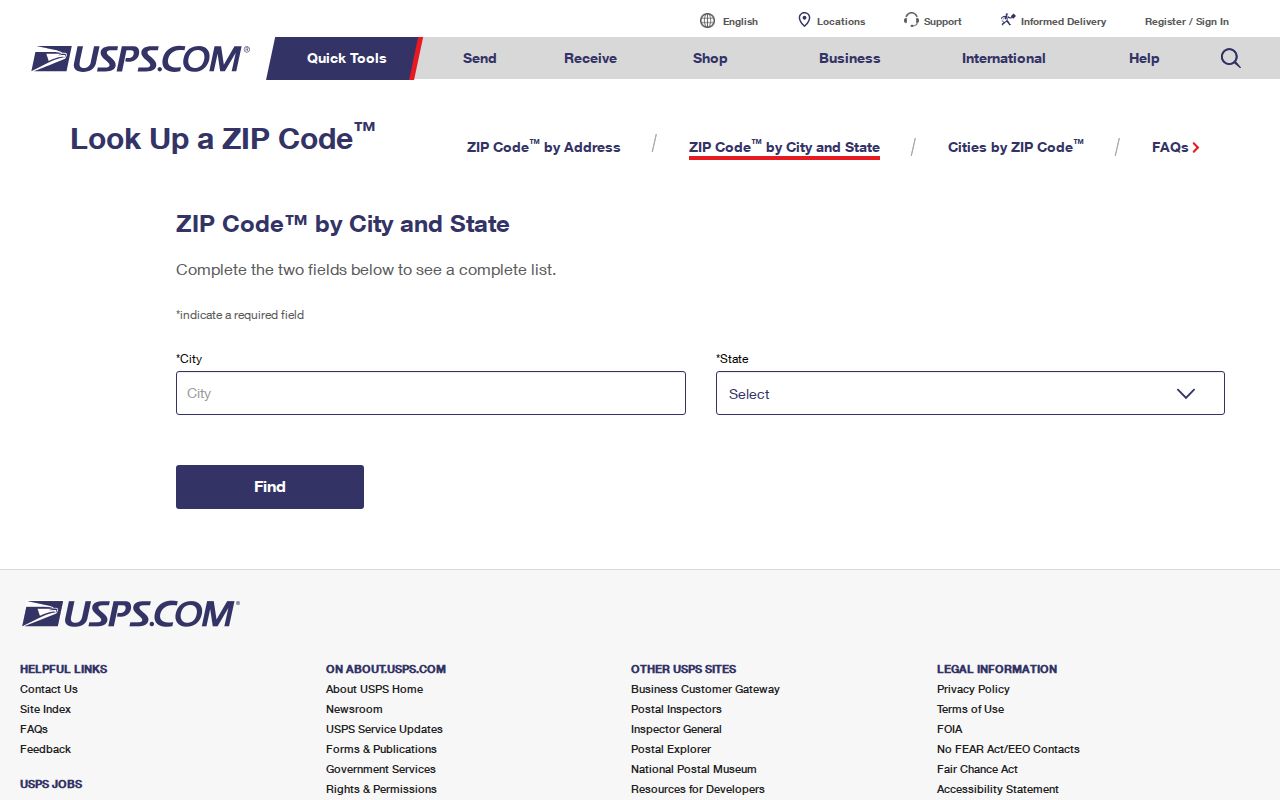
The USPS screen is a practical normalization step. It does not resolve city limits, ownership, voting precincts, or the location of a historical tract. Those questions need the appropriate local record after the ZIP check is complete.
Grapevine CAID ZIP Layers
Tarrant County’s CAID map can search by address, owner name, or tax account and can layer ZIP codes with city boundaries, voting precincts, property, schools, districts, flood context, and other map data. Its ZIP layer is valuable because it can be read beside the parcel, rather than by itself. The separate Public Map Viewer uses Address, Account, and Owner tabs with parcel identify tools.
| CAID search options | Address, owner name, tax account, Main Search, Google Search, and Bing Search |
|---|---|
| ZIP-related layer | A ZIP layer can be displayed with property and jurisdiction layers. |
| Parcel ZIP field | The county parcel service exposes OWNER_ZIP along with situs, account, legal-description, and map fields. |
| What it cannot confirm | Current occupancy, title certification, or an entire list of people connected to a ZIP. |
The CAID ZIP and property layer is shown below from the project’s source capture.
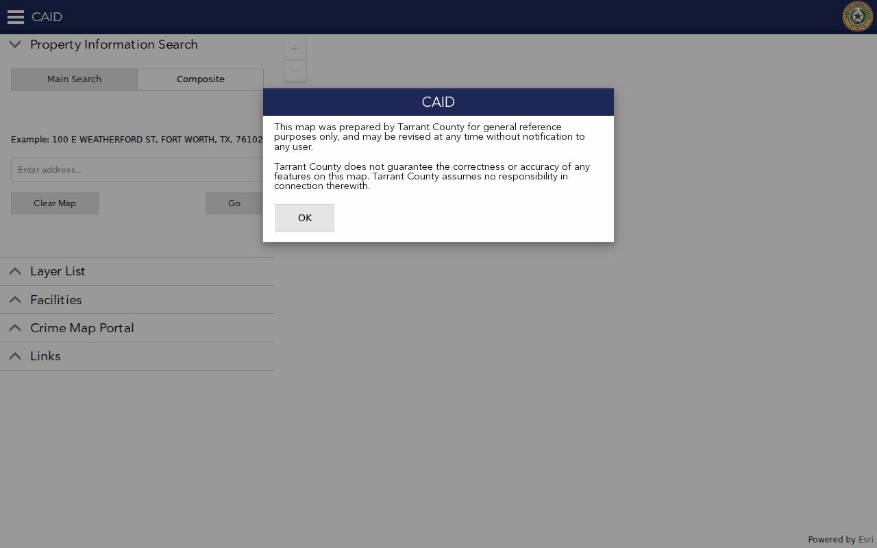
Read the map with the parcel account and legal description. The layer offers geographic context, while the controlling record for a recorded document remains the County Clerk’s official-record route.
Grapevine ZIP Filters Serve Different Purposes
Several local systems accept a ZIP or display one, but they answer different questions. TAD shows property city and address in results and can display an owner mailing ZIP on a property card. CAID exposes OWNER_ZIP and a ZIP layer. Tarrant Voter Lookup accepts a ZIP for polling-location mode, and the TREC management-certificate search has a ZIP filter. None of those features creates a resident list for a postal area.
| Local route | ZIP-related use | What to retain |
|---|---|---|
| Tarrant Appraisal District | Property address and owner mailing ZIP context | Account number, situs address, legal description, and access date |
| Tarrant Voter Lookup | Polling-location route by ZIP | Exact address and election date, because ZIP alone does not determine a district |
| TREC certificate search | Association and certificate context by ZIP | Association name and certificate record, not household membership |
For voter geography, ZIP is only a route into the current election tool. The result can show precinct and districts after an address search, but polling locations and vote centers can change. Protected voters may not appear in the ordinary way, and absence never proves that someone is not registered.
Find a Grapevine ZIP Code Record
A ZIP narrows the place, then the record type determines the next step. This sequence separates postal delivery, parcel facts, civic geography, and recorded-document history instead of asking one search to answer all four.
- Enter the full delivery address in the USPS tool and keep both the original entry and normalized result.
- Search the address in CAID or the Public Map Viewer, identify the parcel, and note the account, situs address, and legal description.
- Open the matching TAD property card to compare the property address with its primary-owner mailing address. They are separate fields.
- For precinct or polling context, use the exact address in Tarrant Voter Lookup and check the current election information.
- When the question becomes street by street, continue with the Grapevine street directory rather than treating the ZIP as the final location key.
Older research can require a different path. Historic addresses may predate postal coding and may instead use a survey, township, route, landmark, old street name, or subdivision description. City directories, maps, deed legal descriptions, and census geography are stronger tools in that setting.
Grapevine ZIP and Mailing Address
TAD’s property card distinguishes the property or situs address from the primary owner’s mailing address. A mailing ZIP can therefore be outside the parcel ZIP, and neither field alone establishes who is physically present. A deed identifies a recorded transaction or interest, while the appraisal card is a tax-appraisal record. Treat those results as related records with different purposes.
The Tarrant County tax search can be searched by account number, owner address, or owner name. It is a useful account cross-reference after a parcel map result. The County Clerk’s Official Records Search is the document-index route when a recorded instrument must be checked. For a copy, the Clerk offers online watermarked copies after a free account, certified online copies with payment, counter service, and a mail procedure.
Note: Keep the account number and document number with each result, because a ZIP label by itself cannot reproduce a parcel or deed search.
Grapevine ZIP Map Context
Grapevine’s official and county map resources add the city-limit layer that a postal lookup lacks. The City map collection includes boundary, airport-environs, historic-district, thoroughfare, transit, zoning, and future-land-use references. Tarrant’s election map page links to the Grapevine city map. Both should be read as reference material, not survey evidence.
The Tarrant County city-maps page is shown below from the project’s source capture.
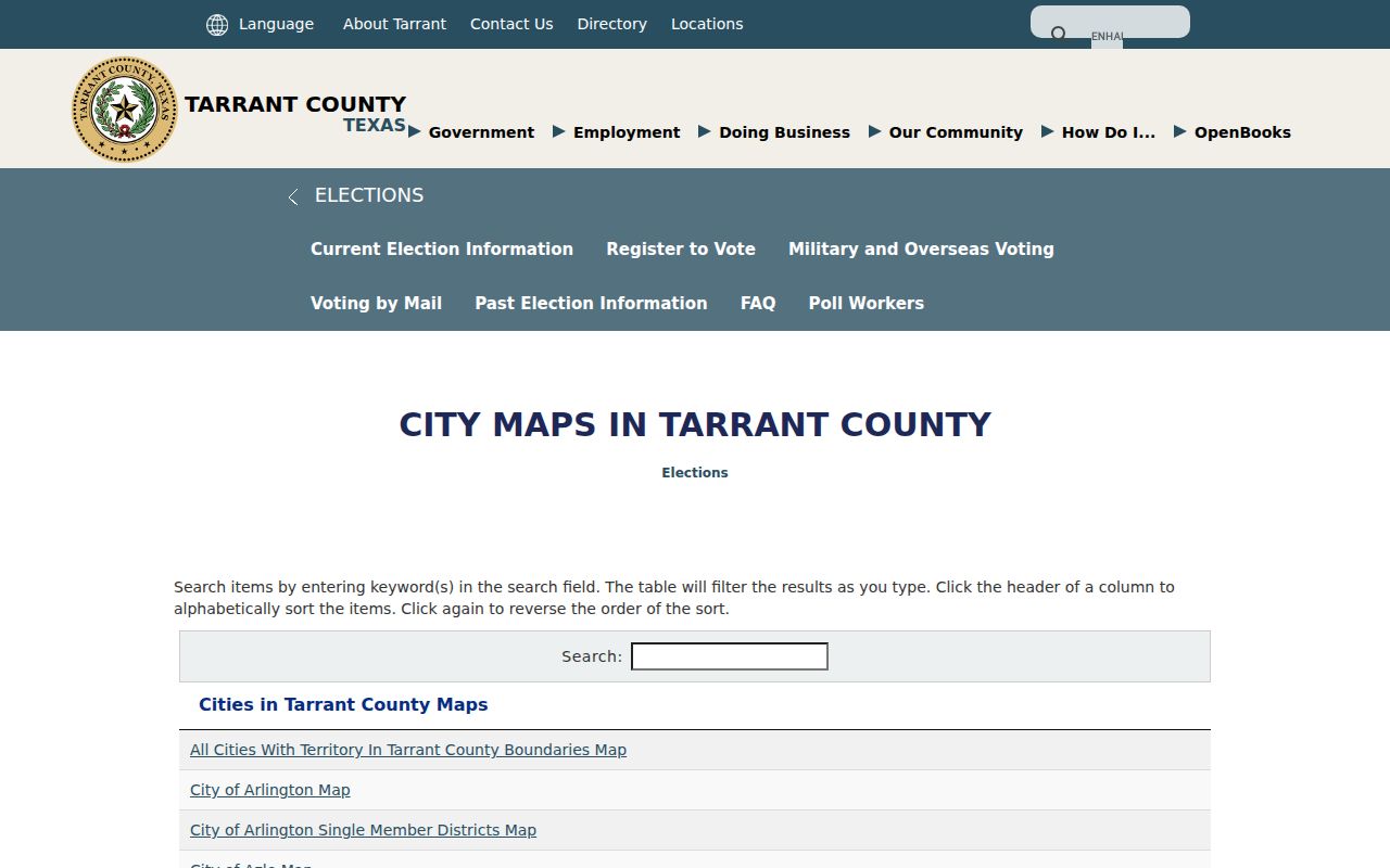
The map context is especially important near airport, lake, county, and neighboring-postal geographies. Grapevine’s 1981 Lake Grapevine annexation involved Denton County, and the airport footprint also shows why municipal, county, and postal labels should not be flattened into one label.
Note: Airport and lake geography can involve different postal, municipal, and county labels, so compare the legal location for each dated record.
Grapevine ZIP Access Channels
Online routes are USPS, CAID, TAD, Tarrant Voter Lookup, the TREC certificate search, county tax and Official Records searches, city maps, and the City’s public-records links. A failed web screen is not the end of the search. TAD and County Clerk staff can answer access questions by phone or at the counter, and the Clerk supplies a mail path for official-record copies and certification.
For a city permit, report, map source, or other existing city record that is not posted, use the Grapevine Public Information Act request route. Texas requests must be written and seek existing records. The Grapevine Public Library Genealogy Room supplies directories, newspapers, microfilm, readers, and scanning; Tarrant County Archives, TSLAC, and FamilySearch help when the address is historical. Ask the custodian which record key and access method fits the date in question.
A historical Grapevine ZIP question often needs a fallback chain instead of a current delivery tool. Start with the street form written in the dated directory, newspaper, tax roll, or deed. Then compare the legal description, survey or subdivision information, city historic-district material, and the 1885 Tarrant map where appropriate. The 1924 annexation added College Heights, Berry’s Lane, and western property, while Grapevine/Keller Road is now West Wall and Morehead Street became Texas Street. A former street name or landmark may be a better path than forcing a modern ZIP onto an older record.
Grapevine Postal Boundary Terms
Clear terms prevent a postal-directory search from promising more than delivery geography can provide. Use a full address and the record custodian’s own field labels when writing down a result.
- ZIP
- A USPS delivery-area code. It does not define a municipal boundary or a parcel boundary.
- ZIP+4
- An added delivery detail used by USPS after the five-digit ZIP. It is not a city-jurisdiction code.
- PO Box ZIP
- A ZIP used for mail delivery to a post-office box. A mailing ZIP does not prove a property situs.
- Carrier route
- A USPS delivery grouping. It is not a resident roster and should not be used as one.
There is no confirmed Grapevine ZIP realignment chronology in the researched official sources. When postal history matters, preserve the date, the exact address wording, the map used, and the custodian that supplied the record.